New
PANAMA · 1756
VF
Offered by SAA Philatelic Net
This item has been sold
It stays online as a reference. Similar material is often available — and we can look for a comparable piece.
1756. MAP OF PORTO BELLO, established during the Spanish colonial period. Colored map printed on laid paper. Tropicalized & tone spots otherwise FINE, VERY FINE. Scarce early map. Today, Portobelo is a post city in Colon, Panama.
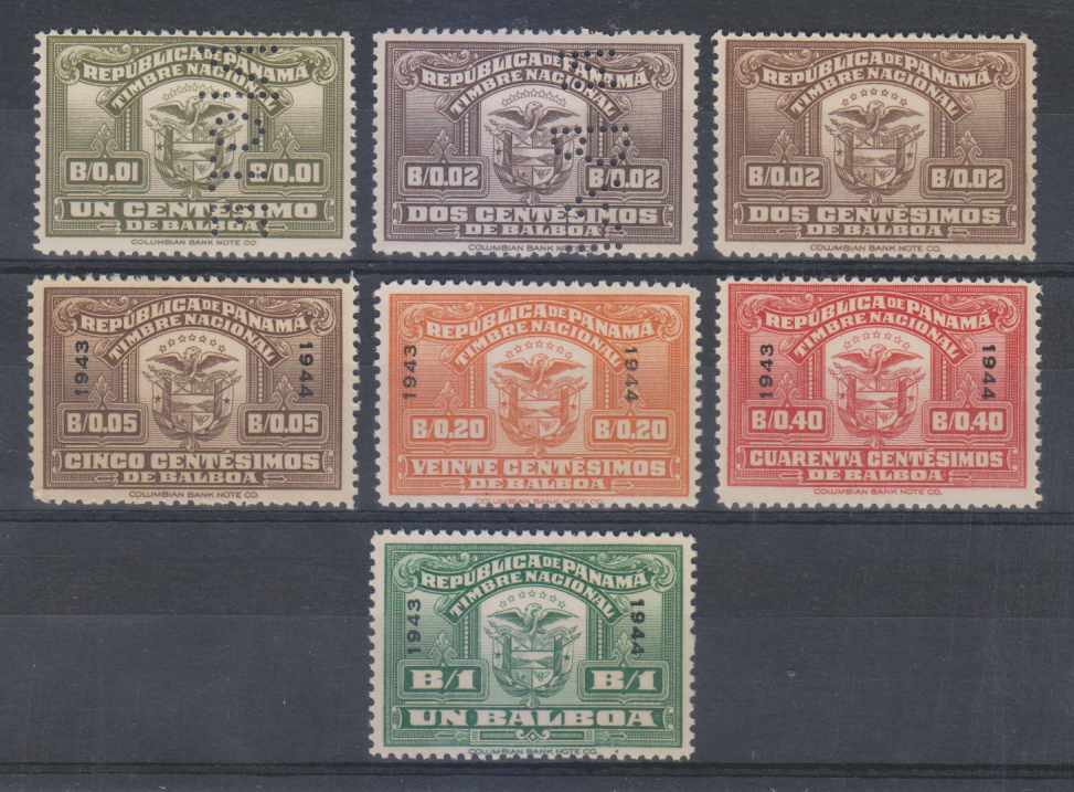

PANAMA · 1938–1969
Mixed